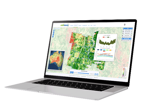
Unlocking 30 years of satellite data for every rural property in Australia in minutes
- Verify your legal property boundary.
- Create a secure, authenticated and auditable digital farm record that will make it easier and cheaper to access and integrate supply chain, traceability and “agtech solutions” into your your business.
- Analyse 30 years of satellite imagery showing seasonal changes in ground cover and annual changes in woody vegetation.
- Benchmark your property against your neighbors and the region.
- Generate reports for: strategic planning; carbon and ecosystem service project registrations and reporting; property valuation.
Click here to find out more: MyFarmKey

